BorderTransportationSystem ™ ©
Jobs, Security, Speed, & You
------ Menu -----
|
BorderTransportationSystem ™ © Jobs, Security, Speed, & You
|
------ Menu ----- |
Maps
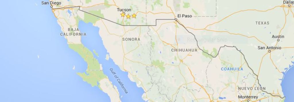
It is helpful to have a few Maps of the U.S.A. / Mexico border so that one can see the terrain and its challenges to the BorderTransportationSystem. Three of the border states share electrical grids, and Texas does not, which may have to change if the High-speed rail system is to properly work.
Along the route there are a few mountains that intersect the border, and the border may have to be adjusted for the BorderTransportationSystem.
Index of ...
Arizona / California / New Mexico Electrical Grid
Current Railroad Speeds in the U.S.A.
New York Times - Isolated Texas Power Grid
Topographical Maps along the U.S.A. / Mexico Border
U.S.-Mexico Border Geospatial and Mapping Data - Elevation Data
|