BorderTransportationSystem ™ ©
Jobs, Security, Speed, & You
------ Menu -----
|
BorderTransportationSystem ™ © Jobs, Security, Speed, & You
|
------ Menu ----- |
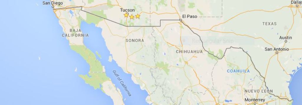
Border Realignments
The existing border between the U.S.A. and Mexico goes from the Pacific Ocean at San Diego, California to the Gulf of Mexico at Brownsville, Texas. It travels through deserts, over rivers, over or through mountains, in the middle of the Rio Grande River from El Paso to Brownsville, and along the way through Big Bend National Park and two very large lakes. This becomes a challenge to building a 'great wall' or even a 'virtual wall', and we currently use several different technologies from low tech barbed wire to high tech sensors and earth penetrating radars.
The BorderTransportationSystem is designed to work in each of these elements and thus, provide a means of standardization, security, and consistent construction techniques. The BorderTransportationSystem may though, require that portions of Mexico and portions of the U.S.A. become the de facto borders in lieu of the actual border, i.e., one side of the Rio Grande or its lakes rather then through the dead-middle of each.
Here are some of the thoughts behind the de facto alignment of the border.
Index of ...
Authorized vehicle and people crossings
|